Premium Badge Download on the App Store Get it on Google Play Turn-by-turn Navigation Offline Maps Bike Type Optimized Routing Premium Maps Custom Bike Computer Export Routes Route Previews Fall Detection Premium Support

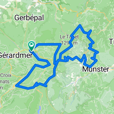
Cycling Route in Xonrupt-Longemer, Alsace-Champagne-Ardenne-Lorraine, France

TdV 2013 Etappe 2 - Col des Bagenelles - Col de Calvaire

1
Open this route in the Bikemap app

Open this route in the Bikemap app

Open this route in Bikemap Web

Open this route in Bikemap Web

102 km
Distance
1992 m
Ascent
1989 m
Descent
-:-- h
Duration
-- km/h
Avg. Speed
--- m
Max. Elevation

About This Route

Col de Surceneux<br /> <br /> Col de Mandray<br /> <br /> Col de Sainte-Marie (772 m)<br /> Westanfahrt von Wisembach  4,4 km / 290 Hm<br /> <br /> Col des Bagenelles (903 m)<br /> Nordanfahrt von Sainte-Marie-aux-Mines  11,2 km / 531 Hm<br /> <br /> Col du Calvaire (1134 m)<br /> Ostanfahrt von Orbey  11 km / 660 Hm

This cycling route is ideal for: Road bike

You will cycle on the following surfaces: Paved

Customize this cycling route with the Bikemap route planner.

Make it yours!

Did you know? You can use this route as a template in our cycling route planner if you don't wish to start from scratch. Customize it based on your needs to plan your perfect cycling tour.

Open it in the app