Cycling Route in Koblenz, Rhineland-Palatinate, Germany
Tal To Tal 2009
0

Open this route in the Bikemap app

Open this route in Bikemap Web
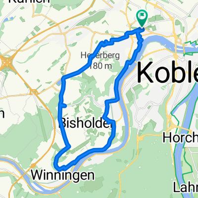
74
km
Distance
Distance
432
m
Ascent
Ascent
435
m
Descent
Descent
-:--
h
Duration
Duration
--
km/h
Avg. Speed
Avg. Speed
118
m
Max. Elevation
Max. Elevation