Cycling Route in Dobrovo, Brda, Slovenia
Goriška brda - Sliva 2 - Itl in Slo brda 50km
1

Open this route in the Bikemap app

Open this route in Bikemap Web
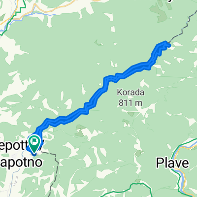
52
km
Distance
Distance
809
m
Ascent
Ascent
809
m
Descent
Descent
-:--
h
Duration
Duration
--
km/h
Avg. Speed
Avg. Speed
---
m
Max. Elevation
Max. Elevation