Premium Badge Download on the App Store Get it on Google Play Turn-by-turn Navigation Offline Maps Bike Type Optimized Routing Premium Maps Custom Bike Computer Export Routes Route Previews Fall Detection Premium Support

Cycling Route in Huez, Auvergne-Rh么ne-Alpes, France

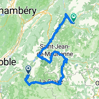
Alpe d'Huez - Col de Sarenne

0
Open this route in the Bikemap app

Open this route in the Bikemap app

Open this route in Bikemap Web

Open this route in Bikemap Web

64 km
Distance
1452 m
Ascent
1450 m
Descent
-:-- h
Duration
-- km/h
Avg. Speed
--- m
Max. Elevation

About This Route

Starting from a village near Le Bourg d'Oisans called Rochetaillée, the suffering commences with the climb of the Alpe d'Huez and continues on the Col de Sarenne. Here comes a pretty tough descent on a patchy, low quality road, but further down the pavement is of higher quality and the ride becomes extremely enjoyable. The last ten kilometers of the trajectory is flat.

This cycling route is ideal for: Road bike

You will cycle on the following surfaces: Paved

Customize this cycling route with the Bikemap route planner.

Make it yours!

Did you know? You can use this route as a template in our cycling route planner if you don't wish to start from scratch. Customize it based on your needs to plan your perfect cycling tour.

Open it in the app