Premium Badge Download on the App Store Get it on Google Play Turn-by-turn Navigation Offline Maps Bike Type Optimized Routing Premium Maps Custom Bike Computer Export Routes Route Previews Fall Detection Premium Support

Cycling Route in Umhausen, Tyrol, Austria

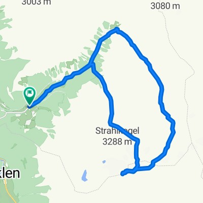
Umhausen - Stuibenfall - Gubener Hutte

0
Open this route in the Bikemap app

Open this route in the Bikemap app

Open this route in Bikemap Web

Open this route in Bikemap Web

32 km
Distance
1276 m
Ascent
1277 m
Descent
-:-- h
Duration
-- km/h
Avg. Speed
--- m
Max. Elevation

About This Route

A moderate difficulty route from Umhausen to Niederthai, with a view to Stuibenfall (>150 m height, largest waterfall in Otztal), and then up to Gubener Hutte and another 1 km above on the valley. The return takes you to visit closely the Stuibenfall and descends steeply back to Umhausen.

(cloned from route 288967)

This cycling route is ideal for: MTB

You will cycle on the following surfaces: Unpaved Gravel

Customize this cycling route with the Bikemap route planner.

Make it yours!

Did you know? You can use this route as a template in our cycling route planner if you don't wish to start from scratch. Customize it based on your needs to plan your perfect cycling tour.

Open it in the app