

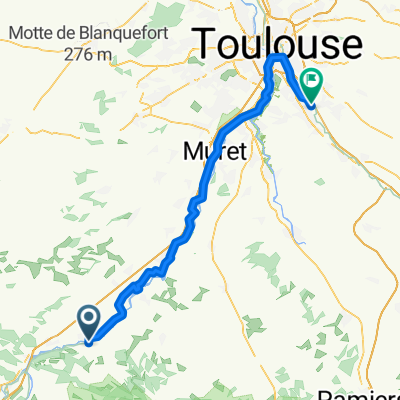
GRR Day 1 - 3 for 2014
A cycling route starting in Cazères, Occitanie, France.
Overview
About this route
Day 1 Aspet, Mente,
Day 2 Bales, Peyressoude, Day 3 Aspin, Toumalet, Gavarnie/Cirque de Tromeuse Day 4 - Loads of options back towards Lourdes or Lannemezan 100km per day approx- -:--
- Duration
- 290.4 km
- Distance
- 6,472 m
- Ascent
- 6,031 m
- Descent
- ---
- Avg. speed
- ---
- Max. altitude
Continue with Bikemap
Use, edit, or download this cycling route
You would like to ride GRR Day 1 - 3 for 2014 or customize it for your own trip? Here is what you can do with this Bikemap route:
Free features
- Save this route as favorite or in collections
- Copy & plan your own version of this route
- Split it into stages to create a multi-day tour
- Sync your route with Garmin or Wahoo
Premium features
Free trial for 3 days, or one-time payment. More about Bikemap Premium.
- Navigate this route on iOS & Android
- Export a GPX / KML file of this route
- Create your custom printout (try it for free)
- Download this route for offline navigation
Discover more Premium features.
Get Bikemap PremiumFrom our community
Other popular routes starting in Cazères
 De Le Village 4, Gensac-sur-Garonne à Chemin de Goubet 1, Cazères
- Distance
- 19.3 km
- Ascent
- 38 m
- Descent
- 105 m
- Location
- Cazères, Occitanie, France
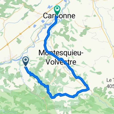
 De Village 37, Saint-Christaud à Rue Victor Hugo 11, Carbonne
- Distance
- 51.8 km
- Ascent
- 616 m
- Descent
- 705 m
- Location
- Cazères, Occitanie, France
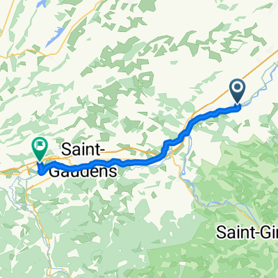
 cazeres to tournay
- Distance
- 89.7 km
- Ascent
- 472 m
- Descent
- 452 m
- Location
- Cazères, Occitanie, France
 Fornex
- Distance
- 29.7 km
- Ascent
- 405 m
- Descent
- 404 m
- Location
- Cazères, Occitanie, France
 SdC Tag2 Palaminy nach Clarac
- Distance
- 50 km
- Ascent
- 239 m
- Descent
- 86 m
- Location
- Cazères, Occitanie, France
 Carbonne-Saint-Christaud
- Distance
- 46.3 km
- Ascent
- 242 m
- Descent
- 394 m
- Location
- Cazères, Occitanie, France
 Cazères - Castanet-Tolosan
- Distance
- 76.2 km
- Ascent
- 179 m
- Descent
- 266 m
- Location
- Cazères, Occitanie, France
 GRR Day 1 - 3 for 2014
- Distance
- 290.4 km
- Ascent
- 6,472 m
- Descent
- 6,031 m
- Location
- Cazères, Occitanie, France
Open it in the app