Premium Badge Download on the App Store Get it on Google Play Turn-by-turn Navigation Offline Maps Bike Type Optimized Routing Premium Maps Custom Bike Computer Export Routes Route Previews Fall Detection Premium Support

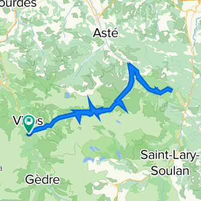
Cycling Route in Luz-Saint-Sauveur, Languedoc-Roussillon-Midi-Pyrénées, France

Luz St. Sauveur- Aubisque- Hautacam- Luz St. Sauveur

0
Open this route in the Bikemap app

Open this route in the Bikemap app

Open this route in Bikemap Web

Open this route in Bikemap Web

136 km
Distance
3403 m
Ascent
3404 m
Descent
-:-- h
Duration
-- km/h
Avg. Speed
--- m
Max. Elevation

About This Route

Ruta 2 que hizo la gente de la revista Pedalier de puertos Tour en la zona del Pirineo.

Luz St. Sauveur- Argeles- Soulor- Circo Litor- Aubisque- Soulor- Ferrieres- Spandelles- Hautacam- Luz St. Sauveur

148 Km y 4000 m de desnivel

This cycling route is ideal for: Road bike

You will cycle on the following surfaces: Paved

Customize this cycling route with the Bikemap route planner.

Make it yours!

Did you know? You can use this route as a template in our cycling route planner if you don't wish to start from scratch. Customize it based on your needs to plan your perfect cycling tour.

Open it in the app