Premium Badge Download on the App Store Get it on Google Play Turn-by-turn Navigation Offline Maps Bike Type Optimized Routing Premium Maps Custom Bike Computer Export Routes Route Previews Fall Detection Premium Support

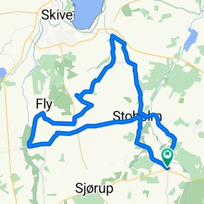
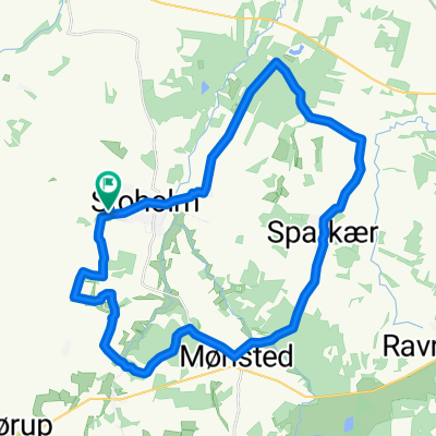
Cycling Route in Stoholm, Central Jutland, Denmark

søndag d 27 maj 2018

0
Open this route in the Bikemap app

Open this route in the Bikemap app

Open this route in Bikemap Web

Open this route in Bikemap Web

86 km
Distance
282 m
Ascent
282 m
Descent
-:-- h
Duration
-- km/h
Avg. Speed
--- m
Max. Elevation

About This Route

Fra Stoholm i samlet flok. Hvis der er ønske derom, kan der laves kørehold 1 og 2 i løbet af turen. Fra Stoholm-Gammelstrup-Borup-Strandet hovedgård-Lund-Virksund-ind om Sundstrup-Sundvej-Nr. Rind-Låstrup-mod Skals-Herredsvejen-Skringstrup-Hørup-Bjerregrav-Neder Hvolris-Troestrup-th. ad Sognevej-Hersom-Teglgårdvej-th. ad Ørrisvej-Nørregade-Vammen-Tinghøjvej-Rødding-Viborg-Nørremøllevej-Gl. Ålborgvej-Viborg Katedralskole-Sct. Mogens Gade-Reberbanen-Ll. Sct. Hans Gade-Skottenborg-Kirkebækvej-Lundborgvejj-Vestermarksvej-Jegstrupvej Vest-Nybrovej-Ravnstrup-Nybro-Lundgårdsvej-Mønsted Skovvej-Mønsted-Stoholm.

This cycling route is ideal for: Road bike

You will cycle on the following surfaces: Unpaved

Customize this cycling route with the Bikemap route planner.

Make it yours!

Did you know? You can use this route as a template in our cycling route planner if you don't wish to start from scratch. Customize it based on your needs to plan your perfect cycling tour.

Open it in the app