Premium Badge Download on the App Store Get it on Google Play Turn-by-turn Navigation Offline Maps Bike Type Optimized Routing Premium Maps Custom Bike Computer Export Routes Route Previews Fall Detection Premium Support

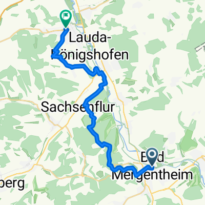
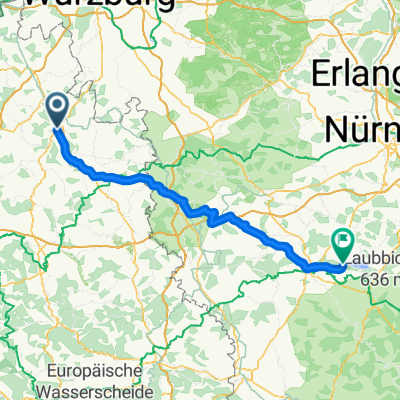
Cycling Route in Bad Mergentheim, Baden-Württemberg, Germany

edelfingen-mainhardter wald-edelfingen

0
Open this route in the Bikemap app

Open this route in the Bikemap app

Open this route in Bikemap Web

Open this route in Bikemap Web

156 km
Distance
2317 m
Ascent
2221 m
Descent
-:-- h
Duration
-- km/h
Avg. Speed
506 m
Max. Elevation

About This Route

relativ lange Radtour durch landschaftlich reizvolle Täler (Erlenbachtal, Jagsttal, Kochertal, Ohrntal, Brettachtal, Künsbachtal).

Einige Höhenmeter sind auch dabei, um die Höhenrücken zwischen den Tälern zu überwinden. Jede einzelne Steigung für sich ist aber nicht sehr anspruchsvoll.

This cycling route is ideal for: Road bike

You will cycle on the following surfaces: Paved

Customize this cycling route with the Bikemap route planner.

Make it yours!

Did you know? You can use this route as a template in our cycling route planner if you don't wish to start from scratch. Customize it based on your needs to plan your perfect cycling tour.

Open it in the app