Cycling Route
草山雷達轉播站-五分山雷達站-北38-文秀坑
1
Open this route in the Bikemap app

Open this route in Bikemap Web
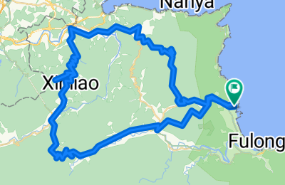
82
km
Distance
Distance
2866
m
Ascent
Ascent
2795
m
Descent
Descent
-:--
h
Duration
Duration
--
km/h
Avg. Speed
Avg. Speed
733
m
Max. Elevation
Max. Elevation
