Premium Badge Download on the App Store Get it on Google Play Turn-by-turn Navigation Offline Maps Bike Type Optimized Routing Premium Maps Custom Bike Computer Export Routes Route Previews Fall Detection Premium Support

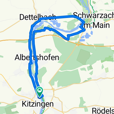
Cycling Route in Kitzingen, Bavaria, Germany

16.5. Kitzingen - Würzburg

0
Open this route in the Bikemap app

Open this route in the Bikemap app

Open this route in Bikemap Web

Open this route in Bikemap Web

48 km
Distance
92 m
Ascent
121 m
Descent
-:-- h
Duration
-- km/h
Avg. Speed
--- m
Max. Elevation

About This Route

Kitzingen über Ochsenfurt und Randersaker bis nach Würzburg.<br /> Zunächst Mainseite rechts, bei Ochsenfurt über den Main - Innenstadt - dann hinter Ochsenfurt zurück auf die rechte Seite und dann über Randersacker bis nach Würzburg. Dort auf den Mainkais bis zur Friedensbrücke - weiter Veitshöchheimer Straße zum IBIS Hotel.

You will cycle on the following surfaces: Paved Unpaved

Customize this cycling route with the Bikemap route planner.

Make it yours!

Did you know? You can use this route as a template in our cycling route planner if you don't wish to start from scratch. Customize it based on your needs to plan your perfect cycling tour.

Open it in the app