Premium Badge Download on the App Store Get it on Google Play Turn-by-turn Navigation Offline Maps Bike Type Optimized Routing Premium Maps Custom Bike Computer Export Routes Route Previews Fall Detection Premium Support

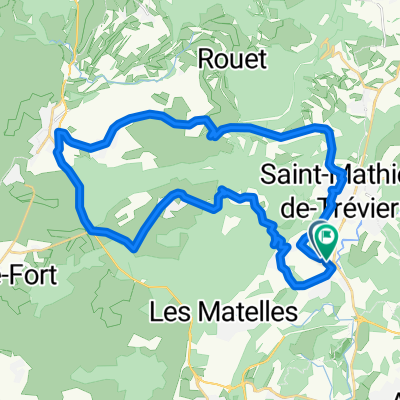
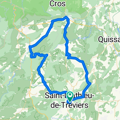
Cycling Route in Saint-Mathieu-de-Tréviers, Languedoc-Roussillon-Midi-Pyrénées, France

22 juin 2014_sortie MUC Montpellier Cyclo

0
Open this route in the Bikemap app

Open this route in the Bikemap app

Open this route in Bikemap Web

Open this route in Bikemap Web

83 km
Distance
1095 m
Ascent
1094 m
Descent
-:-- h
Duration
-- km/h
Avg. Speed
--- m
Max. Elevation

About This Route

  • <h6 class="western" style="widows: 0; orphans: 0"> Dimanche 22 juin : <font color="#ff0000">départ de St Mathieu de Tréviers </font>place du marché à 07H00 pour  110 Km et 1000 m d’ascension</h6>

Parcours : St Mathieu, Fontanès - <font size="2">Point de séparation</font>, Sauteyrargues, Claret, Les Embruscalles, Pompignan, St Hippolyte, La Cadière, Cambo (A/R), La Cadière, Montoulieu , St Bauzille, près Ferrières, ND de Londres, Col de Fambetou (Pic St Loup), St Mathieu


<font color="#0000ff"><font size="2">Parcours Groupe 1</font></font><font size="2"> </font>

<font color="#008000"><font size="2">Parcours Groupe 3</font></font><font size="2"> : pas de raccourci.</font>

This cycling route is ideal for: Road bike

You will cycle on the following surfaces: Unpaved

Customize this cycling route with the Bikemap route planner.

Make it yours!

Did you know? You can use this route as a template in our cycling route planner if you don't wish to start from scratch. Customize it based on your needs to plan your perfect cycling tour.

Open it in the app