Cycling Route in Moritzburg, Saxony, Germany
Dresdner Heide und Schönefelder Hochland
1

Open this route in the Bikemap app

Open this route in Bikemap Web
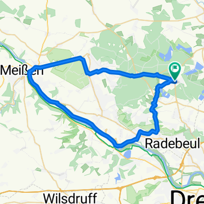
66
km
Distance
Distance
482
m
Ascent
Ascent
449
m
Descent
Descent
-:--
h
Duration
Duration
--
km/h
Avg. Speed
Avg. Speed
378
m
Max. Elevation
Max. Elevation