Premium Badge Download on the App Store Get it on Google Play Turn-by-turn Navigation Offline Maps Bike Type Optimized Routing Premium Maps Custom Bike Computer Export Routes Route Previews Fall Detection Premium Support

Cycling Route in Reit im Winkl, Bavaria, Germany

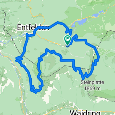
Reit im Winkl - Winkelmoos - Steinplatte - Loferer Alm - Lofer

0
Open this route in the Bikemap app

Open this route in the Bikemap app

Open this route in Bikemap Web

Open this route in Bikemap Web

41 km
Distance
1457 m
Ascent
1518 m
Descent
-:-- h
Duration
-- km/h
Avg. Speed
--- m
Max. Elevation

About This Route

Anstregende Tour von Reit im Winkl über Seegatterl rauf zur Winkelmoos-Alm dann auf Gipfel der Steinplatte weiter und quer über breite Forststraßen zur Loferer Alm. Dann Abfart über Teerstraße nach Lofer. Fahrtechnisch einfache, kontitionell extrem schwere (Nicht-Rund-) Tour.

Immer über ziemlich gut geschotterte Forststraßen - Keine Trails

(cloned from route 58684)

This cycling route is ideal for: MTB

You will cycle on the following surfaces: Gravel

Customize this cycling route with the Bikemap route planner.

Make it yours!

Did you know? You can use this route as a template in our cycling route planner if you don't wish to start from scratch. Customize it based on your needs to plan your perfect cycling tour.

Open it in the app