Premium Badge Download on the App Store Get it on Google Play Turn-by-turn Navigation Offline Maps Bike Type Optimized Routing Premium Maps Custom Bike Computer Export Routes Route Previews Fall Detection Premium Support

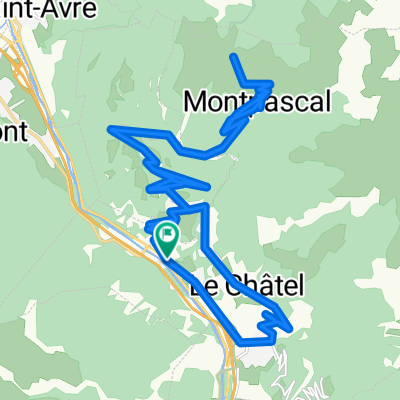
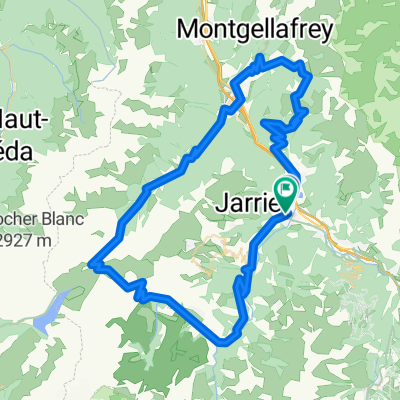
Cycling Route in Saint-Jean-de-Maurienne, Auvergne-RhĂ´ne-Alpes, France

TV Haute Route - Ride 4: St Jean de Maurienne - St Jean de Maurienne

0
Open this route in the Bikemap app

Open this route in the Bikemap app

Open this route in Bikemap Web

Open this route in Bikemap Web

161 km
Distance
3639 m
Ascent
3636 m
Descent
-:-- h
Duration
-- km/h
Avg. Speed
--- m
Max. Elevation

About This Route

North on D906 to D1006/Left across river at D927/D927 to D926 (just after Glandon)/D926 becomes D526 (cross river at end of lake) to Rochettaille/D1091 to just short of Le Bourg D'oisans (cross river) to D211 to Alpe D'Huez. D211 to Huez (short way down)/D211B to Villard Reculas/D44B to junct with D44 nr Les Travers (hairpin) D44 few hundred yards (hairpin) to D44C to D526 becomes D926 to St Jean de Maurienne.

This cycling route is ideal for: Road bike

You will cycle on the following surfaces: Paved

Customize this cycling route with the Bikemap route planner.

Make it yours!

Did you know? You can use this route as a template in our cycling route planner if you don't wish to start from scratch. Customize it based on your needs to plan your perfect cycling tour.

Open it in the app