Cycling Route in Ortenberg, Baden-Württemberg, Germany
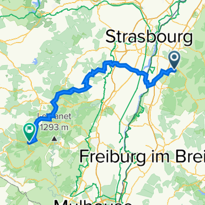
Ortenberg nach Gundelfingen
0

Open this route in the Bikemap app

Open this route in Bikemap Web
68
km
Distance
Distance
822
m
Ascent
Ascent
693
m
Descent
Descent
-:--
h
Duration
Duration
--
km/h
Avg. Speed
Avg. Speed
535
m
Max. Elevation
Max. Elevation