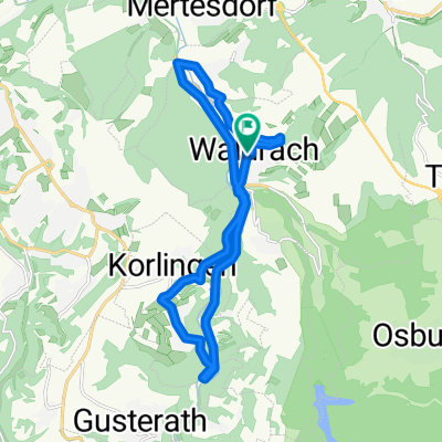
Cycling Route in Waldrach, Rhineland-Palatinate, Germany
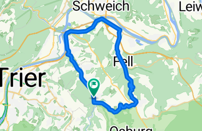
Waldrach-Thomm-Fell-Longuich-Kenn-Ruwer-Waldrach
1
Open this route in the Bikemap app

Open this route in Bikemap Web
28
km
Distance
Distance
396
m
Ascent
Ascent
396
m
Descent
Descent
-:--
h
Duration
Duration
--
km/h
Avg. Speed
Avg. Speed
---
m
Max. Elevation
Max. Elevation