Cycling Route in Saarbrücken, Saarland, Germany
Saarland Radweg
2

Open this route in the Bikemap app

Open this route in Bikemap Web
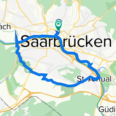
347
km
Distance
Distance
1518
m
Ascent
Ascent
1519
m
Descent
Descent
-:--
h
Duration
Duration
--
km/h
Avg. Speed
Avg. Speed
---
m
Max. Elevation
Max. Elevation