Premium Badge Download on the App Store Get it on Google Play Turn-by-turn Navigation Offline Maps Bike Type Optimized Routing Premium Maps Custom Bike Computer Export Routes Route Previews Fall Detection Premium Support

Cycling Route in Bad Tölz, Bavaria, Germany

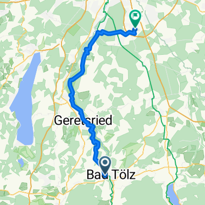
Bad Tölz -> Spitzingsee und Retour

0
Open this route in the Bikemap app

Open this route in the Bikemap app

Open this route in Bikemap Web

Open this route in Bikemap Web

37 km
Distance
476 m
Ascent
252 m
Descent
-:-- h
Duration
-- km/h
Avg. Speed
901 m
Max. Elevation

About This Route

Bad Tölz, Gmund am Tegernsee, Hausham, Schliersee und dann ca. 4km Anstieg zum Spitzingsee rauf

This cycling route is ideal for: Road bike

You will cycle on the following surfaces: Paved

Customize this cycling route with the Bikemap route planner.

Make it yours!

Did you know? You can use this route as a template in our cycling route planner if you don't wish to start from scratch. Customize it based on your needs to plan your perfect cycling tour.

Open it in the app