Cycling Route in Ansbach, Bavaria, Germany
3_Oktober_Tour
0

Open this route in the Bikemap app

Open this route in Bikemap Web
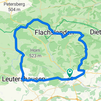
33
km
Distance
Distance
272
m
Ascent
Ascent
274
m
Descent
Descent
-:--
h
Duration
Duration
--
km/h
Avg. Speed
Avg. Speed
---
m
Max. Elevation
Max. Elevation