Cycling Route in Cerklje na Gorenjskem, Municipality of Cerklje na Gorenjskem, Slovenia
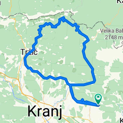
RUNDA 45KM
0

Open this route in the Bikemap app

Open this route in Bikemap Web
45
km
Distance
Distance
402
m
Ascent
Ascent
399
m
Descent
Descent
-:--
h
Duration
Duration
--
km/h
Avg. Speed
Avg. Speed
---
m
Max. Elevation
Max. Elevation