Premium Badge Download on the App Store Get it on Google Play Turn-by-turn Navigation Offline Maps Bike Type Optimized Routing Premium Maps Custom Bike Computer Export Routes Route Previews Fall Detection Premium Support

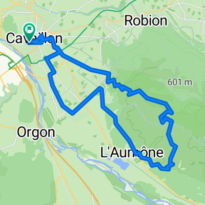
Cycling Route in Cavaillon, Provence-Alpes-C么te d'Azur Region, France

TOUR DU VAUCLUSE HISTORIQUE 2014

0
Open this route in the Bikemap app

Open this route in the Bikemap app

Open this route in Bikemap Web

Open this route in Bikemap Web

255 km
Distance
1413 m
Ascent
1415 m
Descent
-:-- h
Duration
-- km/h
Avg. Speed
--- m
Max. Elevation

About This Route

TOUR DU VAUCLUSE HISTORIQUE 2014

  • Cavaillon (Place du Clos)
  • Cheval-Blanc
  • Lauris
  • Cadenet (contrôle)
  • Villelaure
  • Pertuis (contrôle)
  • Cucuron
  • Lourmarin
  • Apt (contrôle officiel)
  • Murs
  • Col de Murs
  • Carpentras (contrôle-ravitaillement)
  • Malaucène
  • Vaison (contrôle officiel)
  • Roaix
  • Camaret
  • Orange (contrôle)
  • Courthézon
  • Sorgues
  • Le Pontet
  • Avignon (contrôle)
  • Morières
  • Châteauneuf-de-Gadagne
  • Le Thor
  • L'Isle-sur-Sorgues (contrôle)
  • Coustellet
  • Robion
  • Les Taillades
  • Cavaillon (Vélodrome Joseph Lombard)


This cycling route is ideal for: Road bike

You will cycle on the following surfaces: Paved

Customize this cycling route with the Bikemap route planner.

Make it yours!

Did you know? You can use this route as a template in our cycling route planner if you don't wish to start from scratch. Customize it based on your needs to plan your perfect cycling tour.

Open it in the app