Cycling Route in Tuttlingen, Baden-Württemberg, Germany
Von Tuttlingen zur Aachquelle und Schloß Langenstein und zurück
0

Open this route in the Bikemap app

Open this route in Bikemap Web
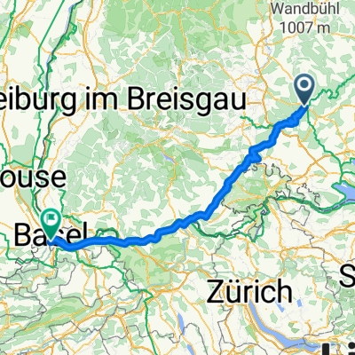
54
km
Distance
Distance
546
m
Ascent
Ascent
538
m
Descent
Descent
-:--
h
Duration
Duration
--
km/h
Avg. Speed
Avg. Speed
---
m
Max. Elevation
Max. Elevation