Premium Badge Download on the App Store Get it on Google Play Turn-by-turn Navigation Offline Maps Bike Type Optimized Routing Premium Maps Custom Bike Computer Export Routes Route Previews Fall Detection Premium Support

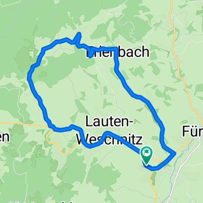
Cycling Route in Rimbach, Hesse, Germany

Krehberg-Neunkircher Höhe

0
Open this route in the Bikemap app

Open this route in the Bikemap app

Open this route in Bikemap Web

Open this route in Bikemap Web

32 km
Distance
993 m
Ascent
985 m
Descent
-:-- h
Duration
-- km/h
Avg. Speed
614 m
Max. Elevation

About This Route

Vom Parkplatz Guldenklinger Höhe dem weißen Kreuz folgend vorbei an der Jägerrast bis zur ...-Eiche. Hier rechts und weiter bis zum Krehberg. Kurzer Abstecher zum Sendemast und runter zur "Fliegerwiese" (zusätzliche Höhenmeter machen ;-). Über Seidenbuch wieder hinauf zur Mathildenruhe. Runter zur Straße Richtung Knoden und gleich rechts Richtung Breitenwiesen. Weiter nach Kolmbach und dem roten Balken Richtung Neunkircher Höhe folgen...

This cycling route is ideal for: MTB

You will cycle on the following surfaces: Paved Unpaved Gravel

Customize this cycling route with the Bikemap route planner.

Make it yours!

Did you know? You can use this route as a template in our cycling route planner if you don't wish to start from scratch. Customize it based on your needs to plan your perfect cycling tour.

Open it in the app