Cycling Route in Bad Staffelstein, Bavaria, Germany
Bad Staffelstein - Rattelsdorf
0

Open this route in the Bikemap app

Open this route in Bikemap Web
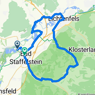
38
km
Distance
Distance
39
m
Ascent
Ascent
42
m
Descent
Descent
-:--
h
Duration
Duration
--
km/h
Avg. Speed
Avg. Speed
263
m
Max. Elevation
Max. Elevation