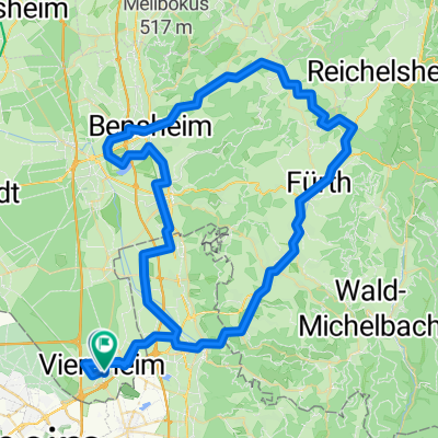
Cycling Route in Viernheim, Hesse, Germany
19.08.15_Vhm-Whm-Mörlenbach-O.-Abtsteinach-Schreishm.-Vhm
1

Open this route in the Bikemap app

Open this route in Bikemap Web
65
km
Distance
Distance
630
m
Ascent
Ascent
627
m
Descent
Descent
-:--
h
Duration
Duration
--
km/h
Avg. Speed
Avg. Speed
---
m
Max. Elevation
Max. Elevation