

Tulln-Greifenstein-Runde
A cycling route starting in Königstetten, Lower Austria, Austria.
Overview
About this route
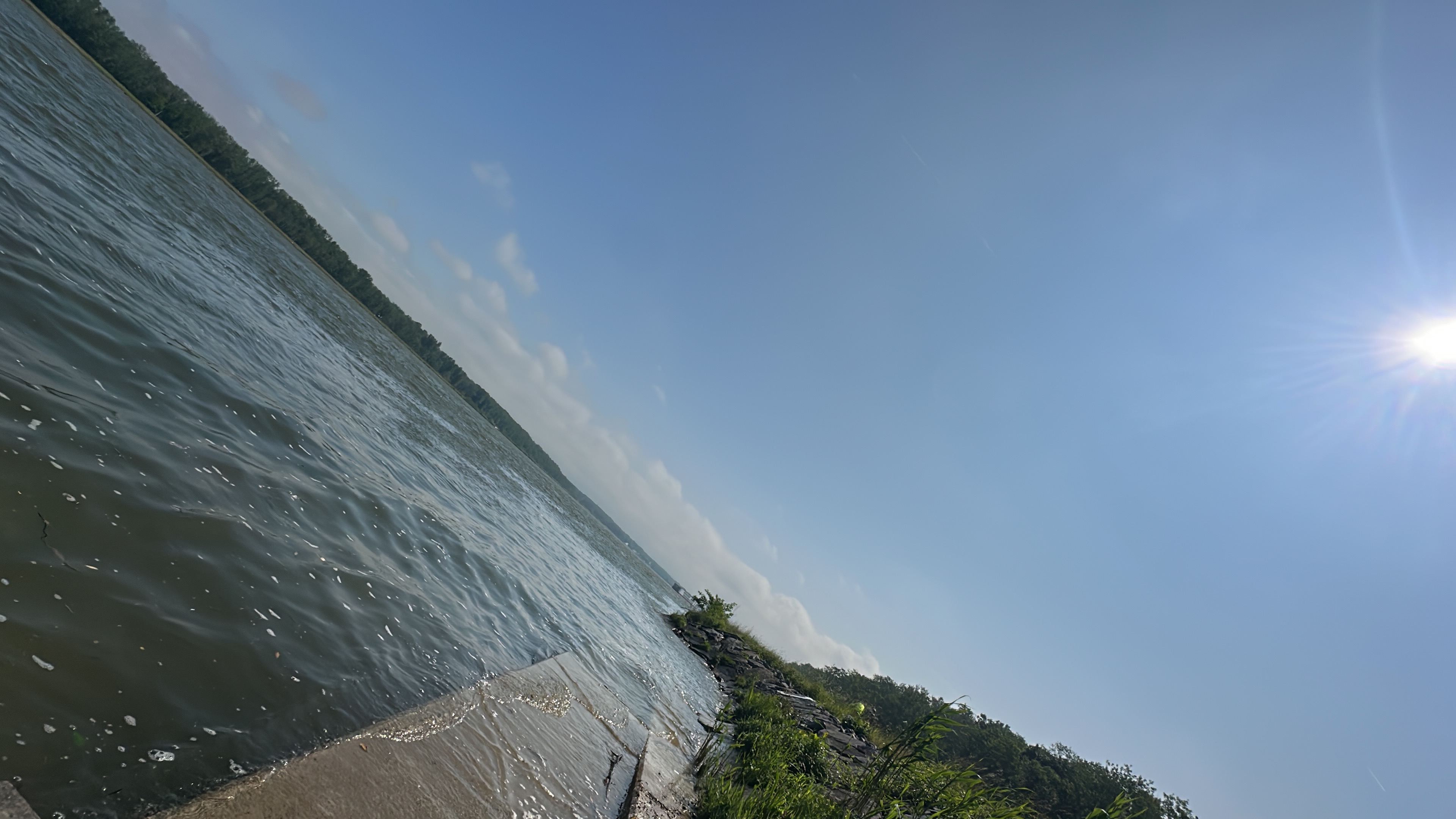
Den Treppelweg entlang der Donau von Tulln nach Greifenstein - Beim Wasserkraftwerk über die Donau drüber und auf der anderen Seite wieder zurück nach Tulln.
Gut für Rennräder geeignet.
(Schnelle Strecke ohne Autos)
Trotzdem viele kleine Wenden und Kehren. Wer einen 30er-Schnitt schafft, darf zufrieden sein.
- -:--
- Duration
- 30.6 km
- Distance
- 37 m
- Ascent
- 40 m
- Descent
- ---
- Avg. speed
- 181 m
- Avg. speed
Route quality
Waytypes & surfaces along the route
Waytypes
Track
26.7 km
(87 %)
Access road
1.5 km
(5 %)
Surfaces
Paved
30.6 km
(100 %)
Asphalt
30.4 km
(99 %)
Concrete
0.2 km
(<1 %)
Undefined
-0 km
(<1 %)
Continue with Bikemap
Use, edit, or download this cycling route
You would like to ride Tulln-Greifenstein-Runde or customize it for your own trip? Here is what you can do with this Bikemap route:
Free features
- Save this route as favorite or in collections
- Copy & plan your own version of this route
- Sync your route with Garmin or Wahoo
Premium features
Free trial for 3 days, or one-time payment. More about Bikemap Premium.
- Navigate this route on iOS & Android
- Export a GPX / KML file of this route
- Create your custom printout (try it for free)
- Download this route for offline navigation
Discover more Premium features.
Get Bikemap PremiumFrom our community
Other popular routes starting in Königstetten
 Hängender Stein-Strecke
- Distance
- 17.4 km
- Ascent
- 341 m
- Descent
- 344 m
- Location
- Königstetten, Lower Austria, Austria
 Und I wollt eine gemuetliche runde fahren!!!
- Distance
- 80.6 km
- Ascent
- 1,020 m
- Descent
- 1,020 m
- Location
- Königstetten, Lower Austria, Austria
 Wien - Mauerbach - Wipfing - Klosterneuburg
- Distance
- 54.9 km
- Ascent
- 389 m
- Descent
- 390 m
- Location
- Königstetten, Lower Austria, Austria
 Die Wahnsinnigen am Rad
- Distance
- 33.5 km
- Ascent
- 463 m
- Descent
- 474 m
- Location
- Königstetten, Lower Austria, Austria
 Mitterweg, Königstetten nach Joseph-Haydn-Gasse, Königstetten
- Distance
- 30 km
- Ascent
- 55 m
- Descent
- 45 m
- Location
- Königstetten, Lower Austria, Austria
 Tour de Wienerwald
- Distance
- 21 km
- Ascent
- 313 m
- Descent
- 241 m
- Location
- Königstetten, Lower Austria, Austria
 Teststrecke Königsstetten Dopplerhütte
- Distance
- 2.9 km
- Ascent
- 231 m
- Descent
- 74 m
- Location
- Königstetten, Lower Austria, Austria
 via doppler hütte
- Distance
- 22.3 km
- Ascent
- 368 m
- Descent
- 367 m
- Location
- Königstetten, Lower Austria, Austria
Open it in the app