Premium Badge Download on the App Store Get it on Google Play Turn-by-turn Navigation Offline Maps Bike Type Optimized Routing Premium Maps Custom Bike Computer Export Routes Route Previews Fall Detection Premium Support

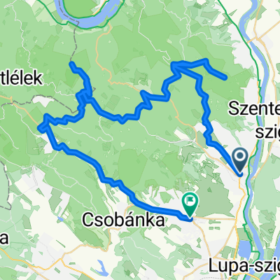
Cycling Route in Szentendre, Pest megye, Hungary

Szentendre - Visegrád

1
Open this route in the Bikemap app

Open this route in the Bikemap app

Open this route in Bikemap Web

Open this route in Bikemap Web

67 km
Distance
1192 m
Ascent
1192 m
Descent
-:-- h
Duration
-- km/h
Avg. Speed
--- m
Max. Elevation

About This Route

Szentendrén a Skanzentől indulva egy kellemes emelkedőkkel tűzdelt 18-20 km hosszú, végig műúton haladó túra. Vízvételi lehetőség csak a két végponton van, erre fel kell készülni. Kitartást és erőnlétet igénylő túra. Kényelmesen 2-2,5 óra alatt megtehető egy-egy irányban. Kellemes egy napos mozgás a természetben. 

Start at the History park in Szentendre for a convenient ascending and descending 18-20 km ride, all the way paved. There is no water well in between, only at the start/end points. The ride needs endurance and one leg can be concluded in 2-2.5 hrs. A nice day out in nature. 

This cycling route is ideal for: Road bike MTB

You will cycle on the following surfaces: Paved

Customize this cycling route with the Bikemap route planner.

Make it yours!

Did you know? You can use this route as a template in our cycling route planner if you don't wish to start from scratch. Customize it based on your needs to plan your perfect cycling tour.

Open it in the app