Premium Badge Download on the App Store Get it on Google Play Turn-by-turn Navigation Offline Maps Bike Type Optimized Routing Premium Maps Custom Bike Computer Export Routes Route Previews Fall Detection Premium Support

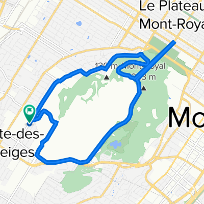
Cycling Route in Montreal, Quebec, Canada

Tour des Laurentides 2009 Day 6

0
Open this route in the Bikemap app

Open this route in the Bikemap app

Open this route in Bikemap Web

Open this route in Bikemap Web

114 km
Distance
145 m
Ascent
116 m
Descent
-:-- h
Duration
-- km/h
Avg. Speed
--- m
Max. Elevation

About This Route

Tour des Laurentides

Day 6: Downtown Montreal to Hawkesbury

We follow bike routes from downtown to the old Port, then along the Lachine Canal to Lachine.  Then along shoreline bikeways through Dorval, Pointe-Claire, Beaconsfield to Sainte-Anne-de-Bellevue.

Crossing the Ottawa River to L'Ile Perrot, then quiet residential roads to the Autoroute 20's bikeway bridge across the St. Lawrence and on to Vaudreuil-Dorion.

From there, we're on quiet shoreline road with occasional bike paths through Hudson to Rigaud, and then to Pointe Fortune and ferry across the Ottawa River to Carilon.

Following an off-road bikeway for 5 km, then back onto Route 344 all the way to Grenville, where we cross the Ottawa River again to Hawkesbury.

This cycling route is ideal for: Road bike

You will cycle on the following surfaces: Paved

Customize this cycling route with the Bikemap route planner.

Make it yours!

Did you know? You can use this route as a template in our cycling route planner if you don't wish to start from scratch. Customize it based on your needs to plan your perfect cycling tour.

Open it in the app