Premium Badge Download on the App Store Get it on Google Play Turn-by-turn Navigation Offline Maps Bike Type Optimized Routing Premium Maps Custom Bike Computer Export Routes Route Previews Fall Detection Premium Support

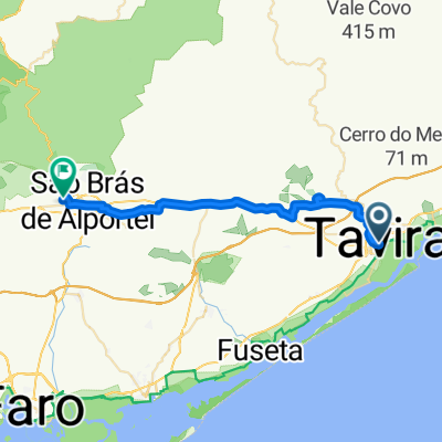
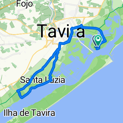
Cycling Route in Tavira Municipality, Faro, Portugal

#07 Tavira - Nível 2

17
Open this route in the Bikemap app

Open this route in the Bikemap app

Open this route in Bikemap Web

Open this route in Bikemap Web

82 km
Distance
448 m
Ascent
443 m
Descent
-:-- h
Duration
-- km/h
Avg. Speed
--- m
Max. Elevation

About This Route

Neste percurso tomará contacto com o vasto património natural e religioso do Sotavento. Início na fronteira em Vila Real de Santo António, nas margens do Guadiana, para depois seguir viagem em direção à histórica vila de Castro Marim. Por uma estrada com bom piso e pouco tráfego sobe-se ao campo de golfe de Monte Rei, que antecede a passagem por Curral de Boeiros. Descendo por estrada, também com bom piso e vista ampla sobre o sotavento, chegará ao vale da Asseca para depois voltar a subir para a aldeia típica de Santo Estevão. Antes de terminar este passeio aproveite para contemplar a beleza da Ria Formosa na localidade piscatória de Santa Luzia.

This cycling route is ideal for: Road bike

You will cycle on the following surfaces: Paved

Customize this cycling route with the Bikemap route planner.

Make it yours!

Did you know? You can use this route as a template in our cycling route planner if you don't wish to start from scratch. Customize it based on your needs to plan your perfect cycling tour.

Open it in the app