Premium Badge Download on the App Store Get it on Google Play Turn-by-turn Navigation Offline Maps Bike Type Optimized Routing Premium Maps Custom Bike Computer Export Routes Route Previews Fall Detection Premium Support

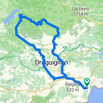
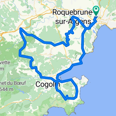
Cycling Route in Fréjus, Provence-Alpes-Côte d'Azur Region, France

Massif du Tanneron - R.P.52 n° 22

4
Open this route in the Bikemap app

Open this route in the Bikemap app

Open this route in Bikemap Web

Open this route in Bikemap Web

145 km
Distance
1600 m
Ascent
1600 m
Descent
-:-- h
Duration
-- km/h
Avg. Speed
--- m
Max. Elevation

About This Route

Fréjus ( Les Arènes ) - St Raphaël – Boulouris – Agay – Anthéor © - Cap Roux – Le Trayas – Miramar – Théoule – La Napoule – Mandelieu – D92 – Le Grand Duc ( 425 m ) – D92-D38 – Tanneron © - N.D. de Peygros ( 412 m ) – Les Patassiers – D94 – St Cassien des Bois – Lac de St-Cassien – D562-D94 – Château-Tournon – Bd de Tournon - Montauroux © - D37 - La Chesnaie - Col d'Avaye ( 751 m ) - D53 - Seillans - D19 - N.D. de l'Ormeau - Fayence - Tourettes - D562-D37 – Pont du Pré-Claou – D37-D837 – Les Adrets de l’Esterel © - L'Eglise - DN7 – St Jean de l'Esterel - Col du Logis de Paris ( 315 m ) - Le Testanier – Fréjus.

This cycling route is ideal for: Road bike

You will cycle on the following surfaces: Unpaved

Customize this cycling route with the Bikemap route planner.

Make it yours!

Did you know? You can use this route as a template in our cycling route planner if you don't wish to start from scratch. Customize it based on your needs to plan your perfect cycling tour.

Open it in the app