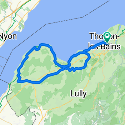
Cycling Route in Thonon-les-Bains, Auvergne-Rhône-Alpes, France
Route des Grane
1

Open this route in the Bikemap app

Open this route in Bikemap Web
92
km
Distance
Distance
2049
m
Ascent
Ascent
1534
m
Descent
Descent
-:--
h
Duration
Duration
--
km/h
Avg. Speed
Avg. Speed
---
m
Max. Elevation
Max. Elevation