Premium Badge Download on the App Store Get it on Google Play Turn-by-turn Navigation Offline Maps Bike Type Optimized Routing Premium Maps Custom Bike Computer Export Routes Route Previews Fall Detection Premium Support

Cycling Route in Frederikssund, Capital Region, Denmark

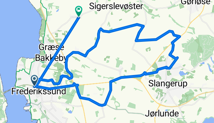
25 km til Højagergård og spiser, t.v. ad Kvinderupvej

0
Open this route in the Bikemap app

Open this route in the Bikemap app

Open this route in Bikemap Web

Open this route in Bikemap Web

25 km
Distance
97 m
Ascent
97 m
Descent
-:-- h
Duration
-- km/h
Avg. Speed
--- m
Max. Elevation

About This Route

Holmensvej, forbi sygehuset, u.Fr.sundsvej, Gl. Græse Mølle, t Græse, ud ad Sigerslevøstervej, ud ad langelinievej, t.v. ad Manderupvej, t.v. ud til Frederiksborgvej, t.v. ud ad Hillerødvej. Ned til Højager. 

En sti til Lysgrupvej ud ad Jørdhøjvej, rundt i rundkørsel. Forftsæt ad Hørup Skovvej. Kør til Sundbylille, ned til rundkørsel og ned ad Willumsensvej

You will cycle on the following surfaces: Unpaved Gravel

Customize this cycling route with the Bikemap route planner.

Make it yours!

Did you know? You can use this route as a template in our cycling route planner if you don't wish to start from scratch. Customize it based on your needs to plan your perfect cycling tour.

Open it in the app