Cycling Route in Orange, Provence-Alpes-Côte d'Azur Region, France
Orange-Bedoin-Orange CLONED FROM ROUTE 454586
0

Open this route in the Bikemap app

Open this route in Bikemap Web
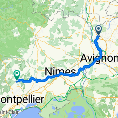
109
km
Distance
Distance
900
m
Ascent
Ascent
900
m
Descent
Descent
-:--
h
Duration
Duration
--
km/h
Avg. Speed
Avg. Speed
---
m
Max. Elevation
Max. Elevation