Premium Badge Download on the App Store Get it on Google Play Turn-by-turn Navigation Offline Maps Bike Type Optimized Routing Premium Maps Custom Bike Computer Export Routes Route Previews Fall Detection Premium Support

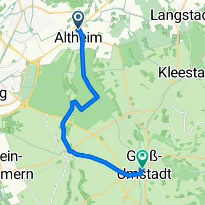
Cycling Route in Münster, Hesse, Germany

Eröffnungstour 2016 - Tour 2

1
Open this route in the Bikemap app

Open this route in the Bikemap app

Open this route in Bikemap Web

Open this route in Bikemap Web

110 km
Distance
968 m
Ascent
966 m
Descent
-:-- h
Duration
-- km/h
Avg. Speed
--- m
Max. Elevation

About This Route

Streckenbeschreibung:

Münster Feuerwehrhaus, Altheim, Semd, Habitzheim, Ober-Klingen, Hassenroth,

Nieder-Kinzig, Kirch-Brombach, Langenbrombach, Spreng, Mossautal,

Nieder-Mossau links Richtung Erbach/Brudergrund,

In Erbach über Haupstraße  Richtung Bullau, Links ab nach Erbuch,

In Erbuch hinter langer Linkskurve rechts ab auf asphaltierten Feldweg

nach Ernsbach (Ernsbacher Weg), Asphaltiertem Weg nach Ernsbach folgen,

Hinter Ernsbach auf Hauptstraße (B47) rechts Richtung Eulbach,

An Kreuzung Eulbach links Richtug Vielbrunn,

Breitenbrunn, Neustadt, Links auf Mümlingtal Radweg nach Höchst, Otzberg,

Zipfen, Groß-Umstadt, Richen, Altheim, Münster

This cycling route is ideal for: Road bike

You will cycle on the following surfaces: Paved

Customize this cycling route with the Bikemap route planner.

Make it yours!

Did you know? You can use this route as a template in our cycling route planner if you don't wish to start from scratch. Customize it based on your needs to plan your perfect cycling tour.

Open it in the app