Premium Badge Download on the App Store Get it on Google Play Turn-by-turn Navigation Offline Maps Bike Type Optimized Routing Premium Maps Custom Bike Computer Export Routes Route Previews Fall Detection Premium Support

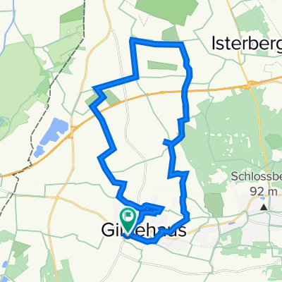
Cycling Route in Bad Bentheim, Lower Saxony, Germany

Vt-DB

0
Open this route in the Bikemap app

Open this route in the Bikemap app

Open this route in Bikemap Web

Open this route in Bikemap Web

15 km
Distance
73 m
Ascent
71 m
Descent
-:-- h
Duration
-- km/h
Avg. Speed
--- m
Max. Elevation

About This Route

Entwurf Tour Radinfra

Schloßpark/Neustadtstraße (TabWw) - Kurzentrum (FSSt,Wegweisung) - Radweg B403 - Radfahrerführung Trog - Pädken Diana u. Beschlagswald - Kreuzung L39 - ZielWw Wilhelmsstraße - Ander Müst (Hütte) - Alter Postweg (ZielWw, V-Route, Radweg) - Sieringhoeker Weg (Hütte, ZielWw) - Berkstraße (hist. Pflaster) - Ostmühle (POI, Gastro, Rast, ToP, FSSt, alte Infotafel?) - Dorfmitte (ZielWw, KnPkt) - Dorf (Aufpflasterung, Pankok)  - neue Querung L39 - Kuhkamp - Pädken zum Romberg -(ZielWw - Pflege unter Bäumen, schlechte Wegstrecken) - Nordhang (Rastplatz, Aussichtspunkt Voskuhle) - Düstere Stiege (Pädken) - Butterweg (ZielWw, KnPkt) - Badepark (ZielWw. zu erneuern, Pflege/Unterhalt) - Gildehauser Straße (Radweg schlechter Zustand, Hinweis auf Unterstützung durch Kom) - Wilehlmsstraße (hist. Pflaster-neues Natursteinpflaster, Möblierung) - Bismarkplatz (TabWw, unübersichtl. Standorte) - Marktplatz (unübersichtliche  Routenführung) evtl. Abstecher Picknickplatz Schlüters Kuhle - Bahnhofstraße

You will cycle on the following surfaces: Paved Gravel

Customize this cycling route with the Bikemap route planner.

Make it yours!

Did you know? You can use this route as a template in our cycling route planner if you don't wish to start from scratch. Customize it based on your needs to plan your perfect cycling tour.

Open it in the app