Premium Badge Download on the App Store Get it on Google Play Turn-by-turn Navigation Offline Maps Bike Type Optimized Routing Premium Maps Custom Bike Computer Export Routes Route Previews Fall Detection Premium Support

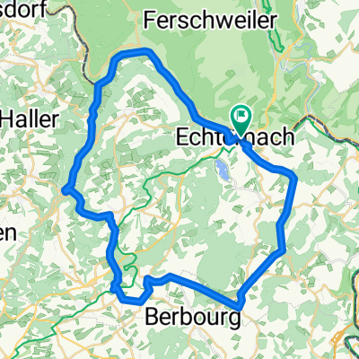
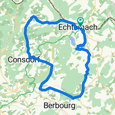
Cycling Route in Echternacherbrück, Rhineland-Palatinate, Germany

Sandra Bertholet - Tourismusverband Region Mullerthal - Kleine Luxemburger Schweiz

0
Open this route in the Bikemap app

Open this route in the Bikemap app

Open this route in Bikemap Web

Open this route in Bikemap Web

12 km
Distance
318 m
Ascent
317 m
Descent
-:-- h
Duration
-- km/h
Avg. Speed
--- m
Max. Elevation

About This Route

Beschreibung Natur pur in Fels und Wald Die Tour verläuft auf einer landschaftlich reizvollen Route durch Wald und Felsen im Gebiet zwischen Echternach und Berdorf. Besonderheiten der Tour sind u. a. die Wolfsschlucht, die Hohllay, das Amphitheater und der Aesbach. Die Tour ist recht anspruchsvoll (Anstieg von Echternach auf das Berdorfer Plateau) und dauert ca. 4 Stunden. Festes Schuhwerk ist dringend empfohlen. Es können jedoch auch Teilstücke (z. B. nur Echternach – Berdorf oder umgekehrt) gewandert werden. Zwischen Berdorf und Echternach gibt es regelmäßige Busverbindungen. Schwierigkeit: Mittel Strecke: 12,0 km Aufstieg: 320 m Abstieg: 320 m Dauer: 3:54 h Niedrigster Punkt: 161 m Höchster Punkt: 326 m

This cycling route is ideal for: Road bike

You will cycle on the following surfaces: Paved

Customize this cycling route with the Bikemap route planner.

Make it yours!

Did you know? You can use this route as a template in our cycling route planner if you don't wish to start from scratch. Customize it based on your needs to plan your perfect cycling tour.

Open it in the app