Cycling Route in Morzine, Auvergne-Rhône-Alpes, France
Ardent - Avoriaz - Samoens - Tanninges - Les Gets - Montriond
0

Open this route in the Bikemap app

Open this route in Bikemap Web
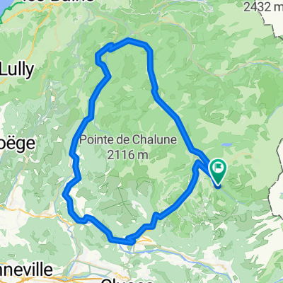
73
km
Distance
Distance
2072
m
Ascent
Ascent
2070
m
Descent
Descent
-:--
h
Duration
Duration
--
km/h
Avg. Speed
Avg. Speed
---
m
Max. Elevation
Max. Elevation