Premium Badge Download on the App Store Get it on Google Play Turn-by-turn Navigation Offline Maps Bike Type Optimized Routing Premium Maps Custom Bike Computer Export Routes Route Previews Fall Detection Premium Support

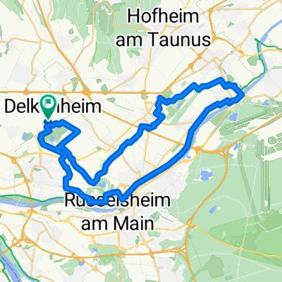
Cycling Route in Hochheim am Main, Hesse, Germany
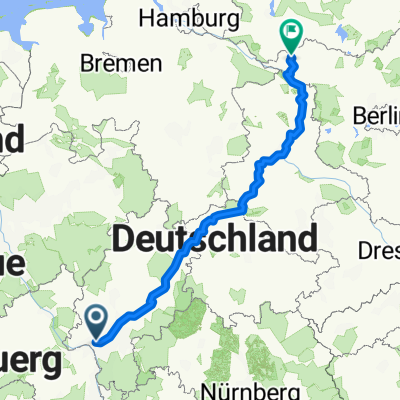
Wallau - Strehlen

0
Open this route in the Bikemap app

Open this route in the Bikemap app

Open this route in Bikemap Web

Open this route in Bikemap Web

616 km
Distance
1227 m
Ascent
1330 m
Descent
-:-- h
Duration
-- km/h
Avg. Speed
--- m
Max. Elevation

About This Route

6 Tage

667 km

4300 Höhenmeter

Längste Etappe 138 km

Kürzeste Etappe 96 km

Max. Höhe 620 in Friedrichsbrunn (Harz)

Temperaturen (Max, Min): 31, 8

Customize this cycling route with the Bikemap route planner.

Make it yours!

Did you know? You can use this route as a template in our cycling route planner if you don't wish to start from scratch. Customize it based on your needs to plan your perfect cycling tour.

Open it in the app