

Gavarnie y Tourmalet x Luz Saint Saveur
A cycling route starting in Campan, Occitanie, France.
Overview
About this route
Starting from the summit of the Tourmalet, descent to Luz Saint Sauveur, ascent to Gavarnie, and ascent to the Tourmalet via the Luz side.
- -:--
- Duration
- 93.5 km
- Distance
- 2,910 m
- Ascent
- 2,908 m
- Descent
- ---
- Avg. speed
- ---
- Max. altitude

Continue with Bikemap
Use, edit, or download this cycling route
You would like to ride Gavarnie y Tourmalet x Luz Saint Saveur or customize it for your own trip? Here is what you can do with this Bikemap route:
Free features
- Save this route as favorite or in collections
- Copy & plan your own version of this route
- Split it into stages to create a multi-day tour
- Sync your route with Garmin or Wahoo
Premium features
Free trial for 3 days, or one-time payment. More about Bikemap Premium.
- Navigate this route on iOS & Android
- Export a GPX / KML file of this route
- Create your custom printout (try it for free)
- Download this route for offline navigation
Discover more Premium features.
Get Bikemap PremiumFrom our community
Other popular routes starting in Campan
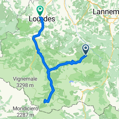 Campan - Lourdes
- Distance
- 106.4 km
- Ascent
- 4,302 m
- Descent
- 4,807 m
- Location
- Campan, Occitanie, France
 Bike-trip Atlantique
- Distance
- 795.3 km
- Ascent
- 308 m
- Descent
- 1,287 m
- Location
- Campan, Occitanie, France
 AAA Pyrenäen 6
- Distance
- 91.2 km
- Ascent
- 2,809 m
- Descent
- 2,124 m
- Location
- Campan, Occitanie, France
 Ruta Tourmalet - Lourdes. 110km - 2770 desnivel+
- Distance
- 109.6 km
- Ascent
- 2,489 m
- Descent
- 2,490 m
- Location
- Campan, Occitanie, France
 ETAPA 3
- Distance
- 102.3 km
- Ascent
- 2,577 m
- Descent
- 2,912 m
- Location
- Campan, Occitanie, France
 LE PIC DU MIDI DE BIGORRE PAR LE LAC D'ONCET
- Distance
- 14.7 km
- Ascent
- 0 m
- Descent
- 0 m
- Location
- Campan, Occitanie, France
 Col d'Aspin
- Distance
- 59.3 km
- Ascent
- 1,713 m
- Descent
- 1,714 m
- Location
- Campan, Occitanie, France
 Gavarnie y Tourmalet x Luz Saint Saveur
- Distance
- 93.5 km
- Ascent
- 2,910 m
- Descent
- 2,908 m
- Location
- Campan, Occitanie, France
Open it in the app