Cycling Route in Hurup, North Denmark, Denmark
Ud i det blå
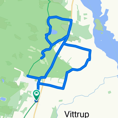
0

Open this route in the Bikemap app

Open this route in Bikemap Web
21
km
Distance
Distance
97
m
Ascent
Ascent
98
m
Descent
Descent
-:--
h
Duration
Duration
--
km/h
Avg. Speed
Avg. Speed
---
m
Max. Elevation
Max. Elevation