Cycling Route in Budapest XVII. kerület, Budapest főváros, Hungary
Keresztúr-Hungaroring-Naplás tó-Keresztúr
1

Open this route in the Bikemap app

Open this route in Bikemap Web
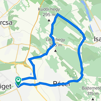
45
km
Distance
Distance
294
m
Ascent
Ascent
294
m
Descent
Descent
-:--
h
Duration
Duration
--
km/h
Avg. Speed
Avg. Speed
---
m
Max. Elevation
Max. Elevation