Premium Badge Download on the App Store Get it on Google Play Turn-by-turn Navigation Offline Maps Bike Type Optimized Routing Premium Maps Custom Bike Computer Export Routes Route Previews Fall Detection Premium Support

Cycling Route in Linz, Upper Austria, Austria

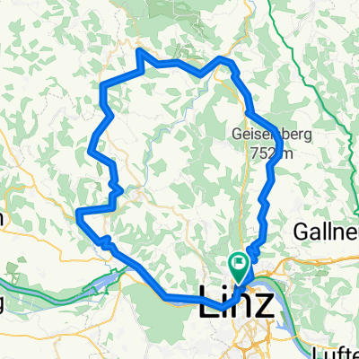
Linz-Enns-Mauthausen-Linz 53km 90hm

3
Open this route in the Bikemap app

Open this route in the Bikemap app

Open this route in Bikemap Web

Open this route in Bikemap Web

53 km
Distance
108 m
Ascent
107 m
Descent
-:-- h
Duration
-- km/h
Avg. Speed
--- m
Max. Elevation

About This Route

Kurze (Grundlagen) Runde.

Zurück über Steyreggerbrücke ODER Autobahnbrücke!?

Die Straße enlang der Schienen/Bahn zum Ennser Bahnhof ist SEHR SCHLECHT.

This cycling route is ideal for: Road bike City bike

You will cycle on the following surfaces: Paved

This route is based on Linz-Enns-Valentin-Mauthausen-Linz 73km 180hm .

Customize this cycling route with the Bikemap route planner.

Make it yours!

Did you know? You can use this route as a template in our cycling route planner if you don't wish to start from scratch. Customize it based on your needs to plan your perfect cycling tour.

Open it in the app