Premium Badge Download on the App Store Get it on Google Play Turn-by-turn Navigation Offline Maps Bike Type Optimized Routing Premium Maps Custom Bike Computer Export Routes Route Previews Fall Detection Premium Support

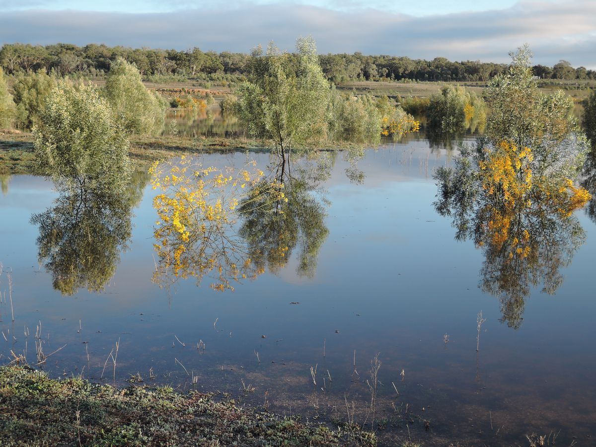
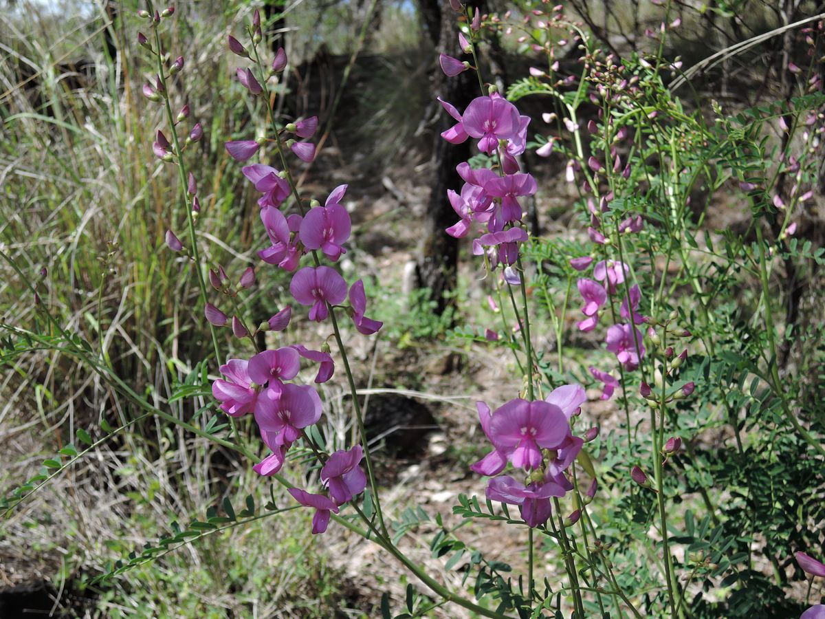
Cycling Route in Inverell, New South Wales, Australia

Inverell to copeton dam, Bingara, Cranky rock, Kwiambal NP and back to Inverell

1
Open this route in Bikemap Web

Open this route in Bikemap Web

327 km
Distance
3373 m
Ascent
3375 m
Descent
-:-- h
Duration
-- km/h
Avg. Speed
804 m
Max. Elevation

About This Route

This was a moderately ambitious four-day ride including camping. Riding was mostly on sealed roads with light to very light traffic but hilly terrain. Day 1 was a short ride of just 41 km from Inverell to Copeton Dam all on undulating sealed roads. Copeton dam camping area is enormous with great flexibility on where you can camp as long as you don’t mind riding your bike up to the toilets. We had a gorgeous spot 100s of metres from our nearest neighbours, surrounded by granite boulders, wattles and kangaroos. The remaining days were all approximately 100 kms. On day 2 we started with a short climb up from the dam, followed by a long descent down into the Gwydir valley. The preceding weather had been quite wet so there were a number of shallow creek crossings once down in the valley. However, the ride was easy with little climbing and very pretty with the countryside green, lush and full of flowers. After lunch in Bingara we had to work a whole lot harder with climbing to do as we rode towards Warialda and Cranky Rock Reserve. The latter was interesting and pleasant but given our time again I would probably just stop in Warialda as the ride out to Cranky Rock added nearly 10 km each way. Day 3 (91 km) took us to Coolatai (nice pub) and the locality of Wallagra (no services) before turning onto Sandy Creek Rd into Kwiambal NP. We took a side trip to the caves, which were disappointing with no bats to be seen but lots of graffiti. The roads into the National Park are all unsealed and when we did the ride, there were numerous washouts due to the recent heavy rain. This with so many river crossings we lost count made the ride moderately challenging. However, the lovely grassy campground at Lemon tree flat beside the (swollen) Severn River made the effort worthwhile. On Day 4 we took a side trip to Macintyre Falls before heading out towards Ashford along roads lined with wattles and tea trees in full bloom. From Ashford the road is sealed but the 90 km total for the day combined with an undulating ride net up hill made for a solid day. We did this ride in mid-September, peak wild flower season and enjoyed spectacular displays of wildflowers at several places along the road.

Route Photos

Customize this cycling route with the Bikemap route planner.

Make it yours!

You can use this route as a template in our cycling route planner so that you don’t have to start from scratch. Customize it based on your needs to plan your perfect cycling tour.