Premium Badge Download on the App Store Get it on Google Play Turn-by-turn Navigation Offline Maps Bike Type Optimized Routing Premium Maps Custom Bike Computer Export Routes Route Previews Fall Detection Premium Support

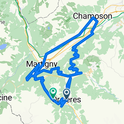
Cycling Route in Orsières, Valais, Switzerland

Via Francigena 1ère partie (Orsières - Passo della Cisa)

1
Open this route in the Bikemap app

Open this route in the Bikemap app

Open this route in Bikemap Web

Open this route in Bikemap Web

470 km
Distance
2724 m
Ascent
2592 m
Descent
-:-- h
Duration
-- km/h
Avg. Speed
--- m
Max. Elevation

About This Route

Chemin de pèlerinage parcouru en l'an 990 par Sigéric, archevêque de Canterbury, la Via Francigena relie le sud de l'Angleterre à la tombe de l'apôtre Pierre, à Rome. L'itinéraire proposé ici est celui que j'ai suivi, au départ d'Orsières (Valais, Suisse). VTT indispensable pour franchir les nombreux passages hors goudron - les routes italiennes sont très dangereuses !

1ère partie : Orsières - Passo della Cisa (6-7 jours)

Pour des raisons de sécurité (trafic), prendre à Martigny le train pour Orsières.

Distance totale (Orsières-Rome) : 1057 km

Dénivelé positif total : 10'500 m

Durée : 13 jours (+ repos éventuel)

Plus d'informations sur www.europebybike.info

This cycling route is ideal for: MTB

You will cycle on the following surfaces: Paved Unpaved Gravel

Highlights Along The Route

Accomodation

Camping I Pianelli, Berceto Tel : +39 0525 64521

Accomodation

Accueil pèlerin à l'Oratorio Don Bosco Tel : +39 0525 422136

Accomodation

Accueil pèlerin municipal Grangia Benedettina, Orio Litta Tel : +39 0377 944436

More highlights are available with Bikemap for iOS and Android.

Customize this cycling route with the Bikemap route planner.

Make it yours!

Did you know? You can use this route as a template in our cycling route planner if you don't wish to start from scratch. Customize it based on your needs to plan your perfect cycling tour.

Open it in the app