Premium Badge Download on the App Store Get it on Google Play Turn-by-turn Navigation Offline Maps Bike Type Optimized Routing Premium Maps Custom Bike Computer Export Routes Route Previews Fall Detection Premium Support

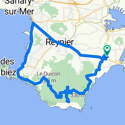
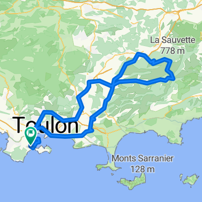
Cycling Route in La Seyne-sur-Mer, Provence-Alpes-CĂ´te d'Azur Region, France

Rocbaron - Ste Baume - Ouillier - 24 Janv. 17

1
Open this route in the Bikemap app

Open this route in the Bikemap app

Open this route in Bikemap Web

Open this route in Bikemap Web

165 km
Distance
1361 m
Ascent
1361 m
Descent
-:-- h
Duration
-- km/h
Avg. Speed
--- m
Max. Elevation

About This Route

La Seyne-Sablettes - port – Pyro – piste – Toulon – piste – Ste Marguerite © - Le Pradet – La Diligence – D76 – La Moutonne – Gavarry – La Crau – Les Sauvans – Les Mauniers – La Farlède - Solliès-Pont ( cimetière ) – Les Sénès – Crémorin – D97 – Cuers – Pas-Redon – D40 – Ste Philomène – cote 433m – D12 – Rocbaron – D81 – Garéoult – D64 - La Roquebrussanne - cote 490 m – Mazaugues – D95 - Glacières – Petit St Cassien – cote 740 m – L’Hôtellerie de la Ste Baume – D80 - Plan d’Aups – La Coutronne – D2 – Col de L’Espigoulier ( 728 m ) - Gémenos – D42e-DN8 – Aubagne – D559a – Roquefort la Bédoule – D1 – Rouvière – D41c-D559a – Pas d’Ouillier ( 347 m ) – Pas de Belle-Fille – D559 – La Ciotat – D559 – le Liouquet – St-Cyr les Lèques – Collet Reyné ( 160 m ) - Bandol – D559 – Sanary – Six-Fours – D16 - La Seyne-Sablettes.

This cycling route is ideal for: Road bike

You will cycle on the following surfaces: Unpaved

Customize this cycling route with the Bikemap route planner.

Make it yours!

Did you know? You can use this route as a template in our cycling route planner if you don't wish to start from scratch. Customize it based on your needs to plan your perfect cycling tour.

Open it in the app