Cycling Route in Sète, Languedoc-Roussillon-Midi-Pyrénées, France
Sète-Peyriac-de-Mer103 km90u70d7h
1

Open this route in the Bikemap app

Open this route in Bikemap Web
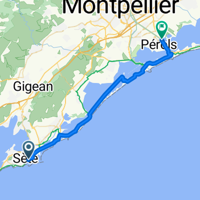
103
km
Distance
Distance
87
m
Ascent
Ascent
104
m
Descent
Descent
-:--
h
Duration
Duration
--
km/h
Avg. Speed
Avg. Speed
---
m
Max. Elevation
Max. Elevation