Premium Badge Download on the App Store Get it on Google Play Turn-by-turn Navigation Offline Maps Bike Type Optimized Routing Premium Maps Custom Bike Computer Export Routes Route Previews Fall Detection Premium Support

Cycling Route in Šentjur pri Celju, Municipality of Šentjur, Slovenia

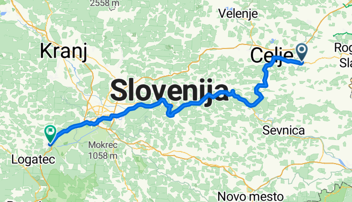
Šentjur pri Celju - Vrhnika

0
Open this route in the Bikemap app

Open this route in the Bikemap app

Open this route in Bikemap Web

Open this route in Bikemap Web

125 km
Distance
1365 m
Ascent
1339 m
Descent
-:-- h
Duration
-- km/h
Avg. Speed
636 m
Max. Elevation

About This Route

Šentjur pri Celju
Laško
Laško (predzadnji dan)
Hotel Hum
Na poti proti Hrastniku
Hrastnik
Vrhnika

This cycling route is ideal for: City bike

You will cycle on the following surfaces: Paved Unpaved

Customize this cycling route with the Bikemap route planner.

Make it yours!

Did you know? You can use this route as a template in our cycling route planner if you don't wish to start from scratch. Customize it based on your needs to plan your perfect cycling tour.

Open it in the app