Premium Badge Download on the App Store Get it on Google Play Turn-by-turn Navigation Offline Maps Bike Type Optimized Routing Premium Maps Custom Bike Computer Export Routes Route Previews Fall Detection Premium Support

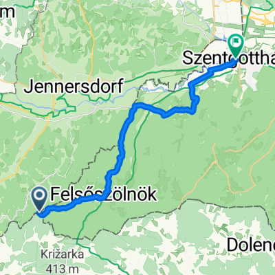
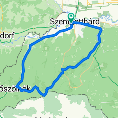
Cycling Route in Szentgotthárd, Vas, Hungary

Od Goričkega do Pirana

2
Open this route in the Bikemap app

Open this route in the Bikemap app

Open this route in Bikemap Web

Open this route in Bikemap Web

473 km
Distance
2059 m
Ascent
2295 m
Descent
-:-- h
Duration
-- km/h
Avg. Speed
--- m
Max. Elevation

About This Route

Hodoš-Tromejnik-M.Sobota-Ižakovci-Ljutomer-Ptuj-Ptujska gora-Majšperk-Makole-Zg.Poljčane-Žiče-Žička Kartuzija-Pletovarje-Ponikva-Šentjur-Laško-Rimske toplice-Trnovo-Dol pri Hrastniku-Hrastnik-Trbovlje-Ravenska vas-Zagorje ob Savi-Kisovec-Izlake-Mlinše-Kandrše-Gabrje pod Limbarsko goro-Moravče-Gradiško jezero-Lukovica-Rova-Radomlje-Domžale-Šentjakob-Šmartno ob Savi-Ljubljana Črnuče-Šentvid-Stranska vas-Dobrova-Podsmreka-Brezovica pri Ljubljani-Notranje Gorice-čez Ljubljansko Barje-Podpeško jezero-Borovnica-Bistra-Vrhnika-po tankovski v Logatec-Laze-Planina-Studeno-Veliki Otok-Postojna-Hrašče-Razdrto-Senožeče-Divača-Škocjanske jame-Kačiče-Kozina-Črni Kal-Rižana-Bertoki-Škocjanski zatok-Koper-Izola-po Parancani do Pirana


This cycling route is ideal for: MTB

You will cycle on the following surfaces: Paved Unpaved Gravel

This route is based on Goričko 1.dan .

Customize this cycling route with the Bikemap route planner.

Make it yours!

Did you know? You can use this route as a template in our cycling route planner if you don't wish to start from scratch. Customize it based on your needs to plan your perfect cycling tour.

Open it in the app