Cycling Route in Saint-Cergue, Canton of Vaud, Switzerland
Le Croue - Mont Sâla - Sèche de Gimel
4

Open this route in the Bikemap app

Open this route in Bikemap Web
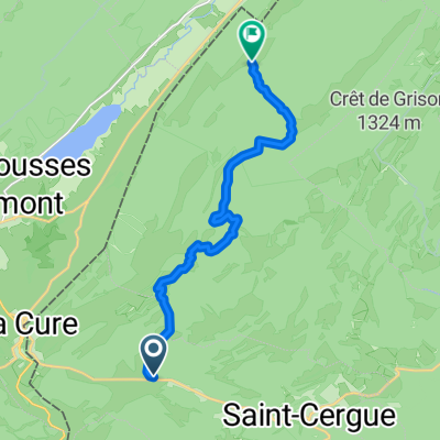
18
km
Distance
Distance
377
m
Ascent
Ascent
374
m
Descent
Descent
-:--
h
Duration
Duration
--
km/h
Avg. Speed
Avg. Speed
---
m
Max. Elevation
Max. Elevation